Projects /
Smarter Hydrographic Surveys with Unmanned Surface Vehicles
Project date: 2026 Hydrographic Surveys of Inland Lakes and Reservoirs: enhanced Bathymetric Surveys with USVs Background Across

Projects /
Project date: 2026 Hydrographic Surveys of Inland Lakes and Reservoirs: enhanced Bathymetric Surveys with USVs Background Across
Project date: 2026
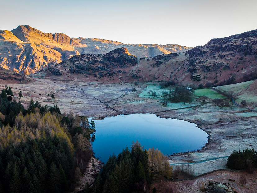
Across the UK, many inland water bodies have evolved over time from their original natural form. Increased rainfall due to climate change is placing greater pressure on an ageing water infrastructure. In some cases, historic modifications such as embankments, weirs or other man-made structures have altered water levels and storage capacity, creating uncertainty around how those features are classified under current legislation.
For landowners and regulatory stakeholders, this distinction can be significant. Under the Reservoirs Act 1975 and subsequent amendments introduced through the Flood and Water Management Act 2010, large impounded water bodies with a storage capacity exceeding 25,000 cubic metres may be subject to statutory safety requirements. These regulations are designed to manage flood risk and protect downstream communities in the event of structural failure.
This project came about via the wider context of land and water management. Our client needed to give consideration to the status of a series of inland water bodies (originally understood to be natural lakes) and whether historic man-made structures and interventions may have influenced water levels and overall storage capacity, increasing their volume of escapable water. This prompted the need for robust, objective survey data to inform regulatory assessment and future decision-making. Independent technical advice was sought to establish whether the water bodies met the volumetric thresholds set out in current reservoir legislation.
In this context, an accurate and defensible understanding of underwater topography, storage capacity and embankment condition was essential. A high-resolution hydrographic survey was therefore commissioned to provide the detailed bathymetric data required to support further assessment, without presupposing outcomes or conclusions.
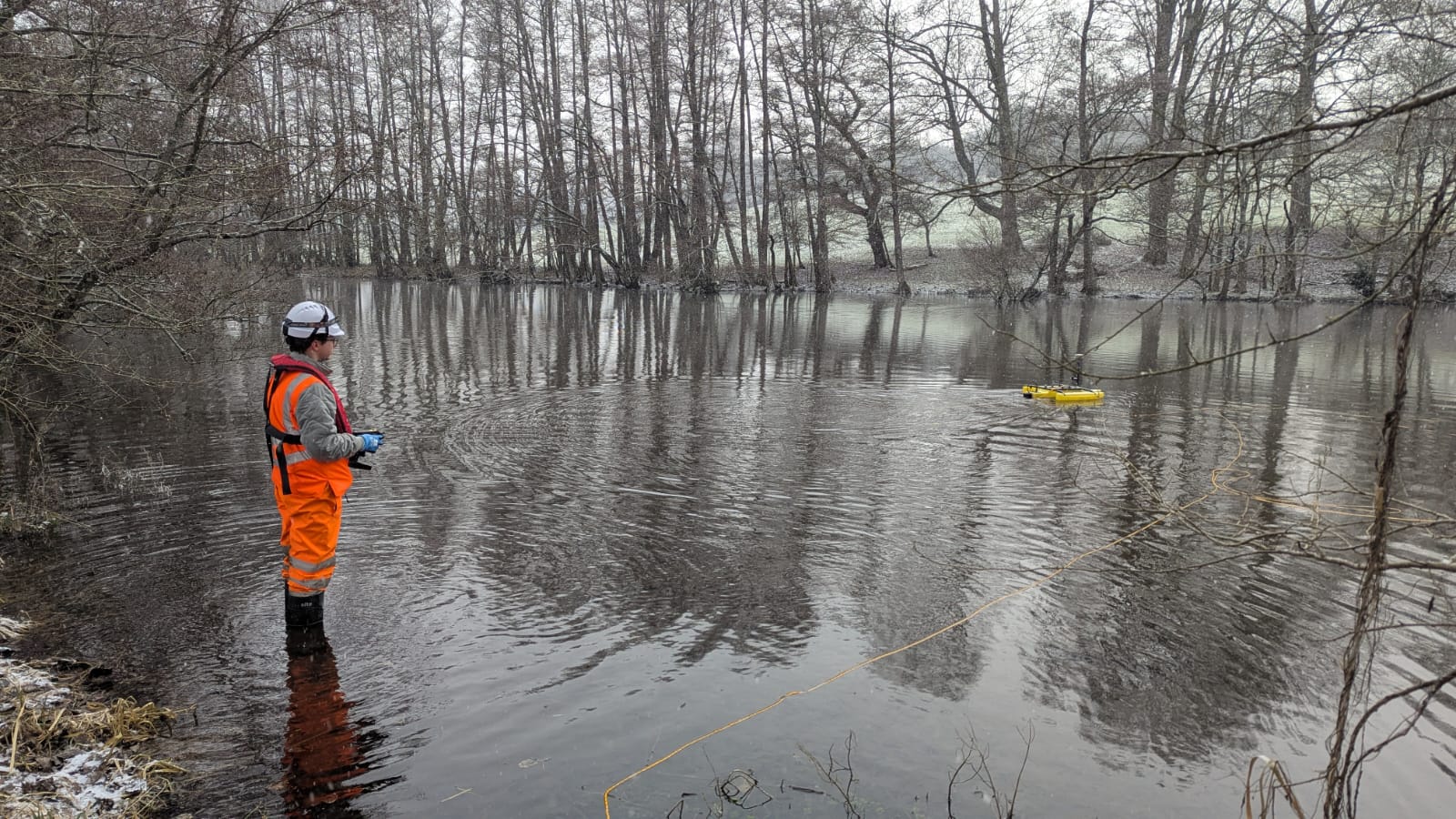
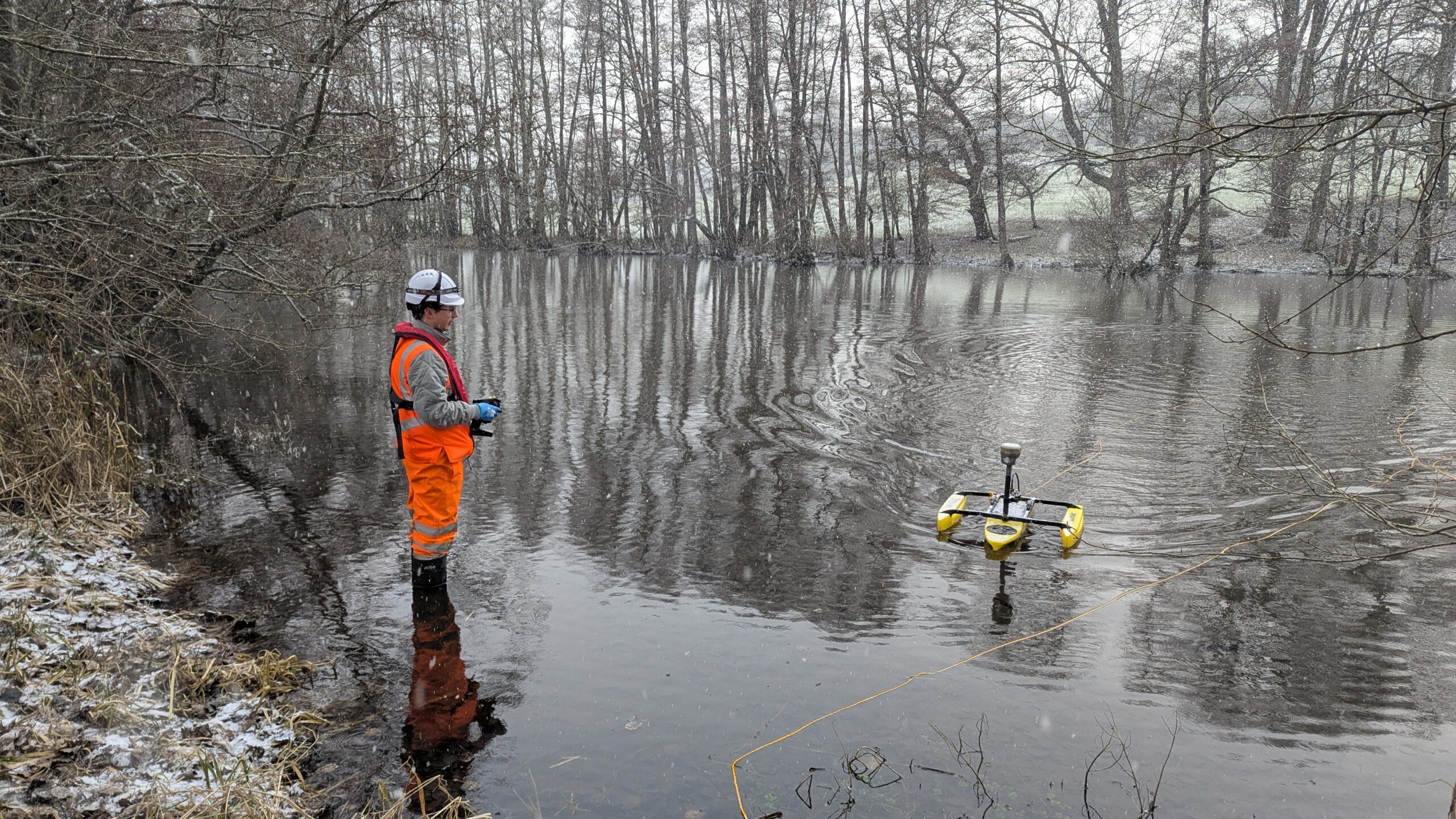
At Malcolm Hughes, we’re committed to delivering precise, efficient and safe geospatial data across a broad range of environments, from land and infrastructure to waterways and coastal zones. With nearly five decades of experience and investment in cutting-edge technology, our hydrographic surveying team continues to evolve how we capture and process underwater topographic data for the UK’s most demanding projects.
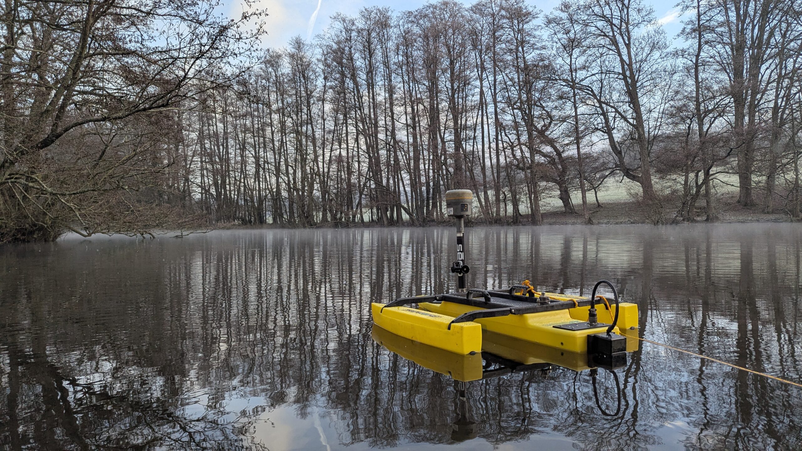
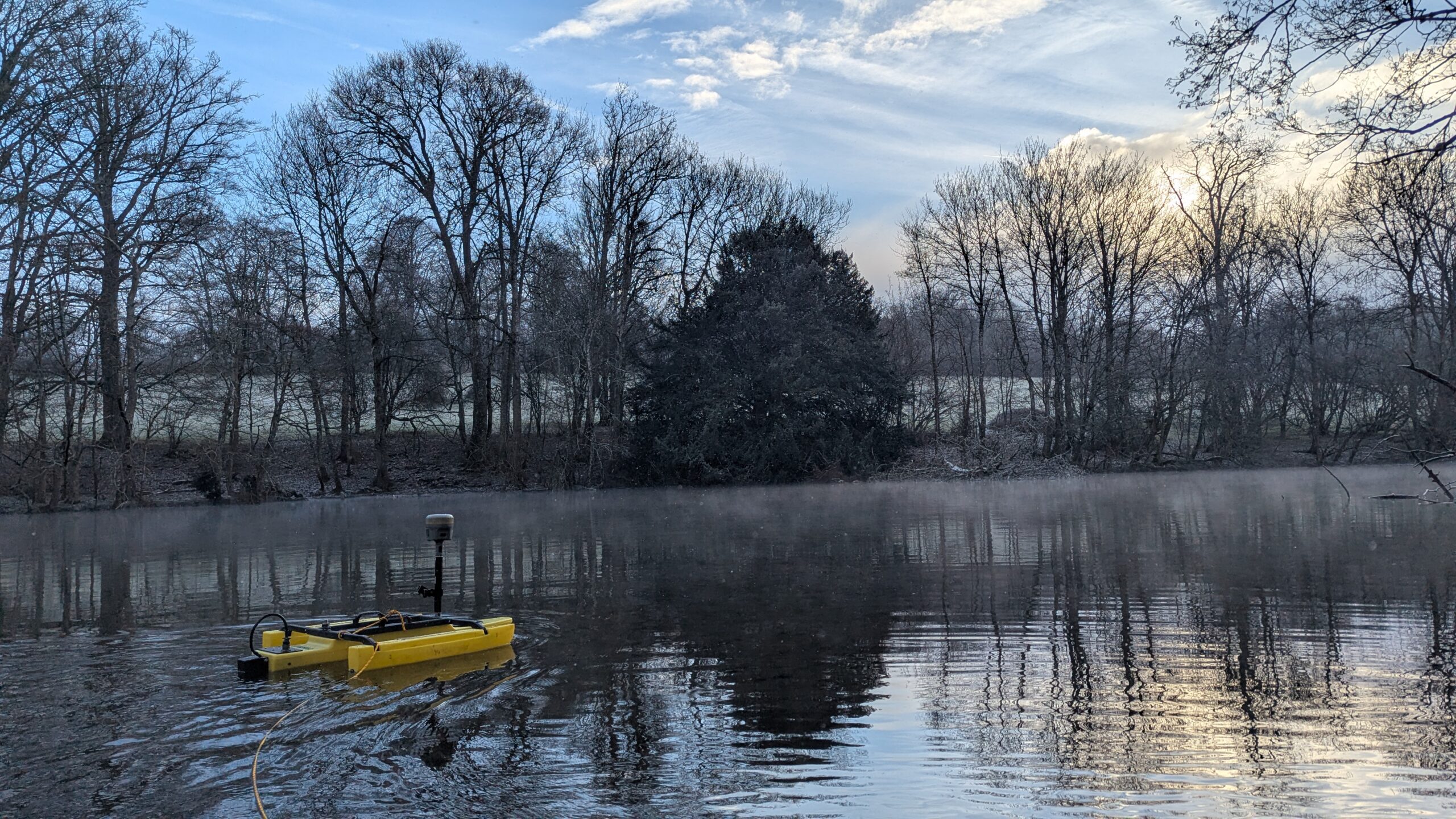
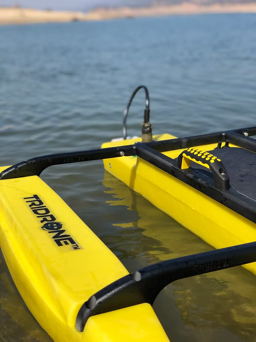
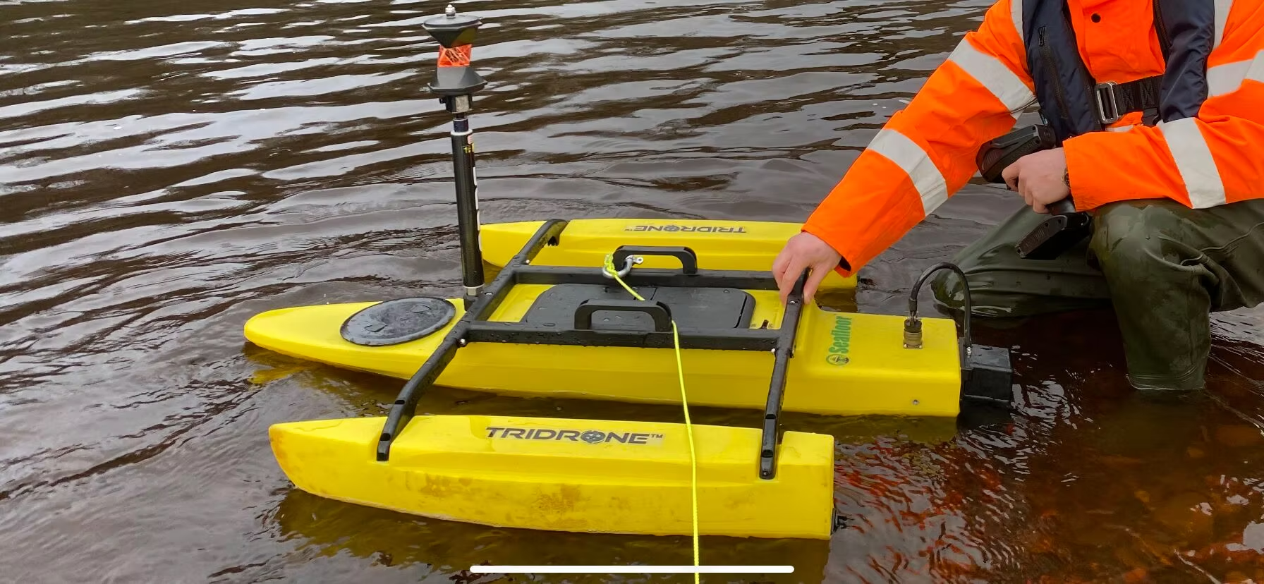
A recent enhancement to our toolkit has been the integration of portable, remote-controlled water survey platforms such as the HyDrone RCV / TriDrone™ USV. These lightweight, compact unmanned surface vehicles have been a game changer in delivering high-quality bathymetric surveys across inland waterways, rivers, harbours and other confined or remote sites where traditional methods can be challenging or resource-intensive.
The benefits of deploying these survey drones have been substantial:
By combining traditional hydrographic expertise with these autonomous survey systems, Malcolm Hughes continues to set new standards in underwater data acquisition and mapping. Whether supporting infrastructure development, environmental assessment or marine planning, our teams are equipped to deliver accurate insights with speed and professionalism. These are often requested alongside a traditional Topographic Survey of the surrounding area.
If you would like to speak to one of our specialists regarding a Hydrographic Survey please request a call back by getting in touch with us here.
Related projects
Contact
Tell us about your sector and requirements, and we'll discuss how our experience can support the next stage of your project.